



Summary
Scope of the contract: Analysis of the cadastral status of the properties, identification of any non-compliance or issues, and resolution of such issues.
Objective of the project: To ensure that every building in the real estate portfolio is in full compliance with the cadastral records.
Key information
Client Name: Public Agency
Project Name: Cadastral Update of School Buildings
Project Period: May 2023 – ongoing
Buildings involved: 31 school complexes
Description of activities:
For theanalysis and thecadastral adjustment of the 31 school complexes First, the all all the documents provided by the client, including:
- land registry cadastral
- floor plans cadastral maps for certain building complexes
- Agreements governing the use of real property owned by others, entered into pursuant to Law No. 23 of January 11, 1996.
Supplementary inspections and data collection for cadastral updates
Following this initial analysis of the cadastral status, further steps were necessary:
- a second investigation at the Land Registry aimed at obtaining additional records and cadastral floor plans;
- face-to-face interviews with otherrepresentatives of the organization, in order to identify additional information contained in theinternal database;
- ad hoc site visits to verify the actual conditions on site.
Reconstruction of the Cadastral Status and Analysis of Critical Issues
For all properties, the reconstruction of the cadastral survey required theanalysis andcross-referencing of all the data collected as described above. We often found ourselves faced with conflicting information or ambiguous.
Once theanalysis of the data , it became clear that, while some properties, at first glance, appear to be properly registered with the land registry, others school complexes suffer from a substantial lack of information or, in some cases, do not appear in the building registry.
Verification of consistency between cadastral maps and the actual condition of the property to identify discrepancies
For the real estate on which not whether it was found apparently none critical issues (properties registered with the New Building Registry Urban – NCEU) First and foremost, a comparison among the cadastral maps and the georeferenced images in addition to the photographs taken during the site inspections, in order to identify any expansions or new construction that did not come to light during the land registry search.
In such cases, it was deemed appropriate to conduct a further in-depth analysis with a view to, if necessary, initiating a remedial action that regularize the information contained in the current cadastral records.
Defining Priorities for Cadastral Updating
Once all the data regarding the current situation it became necessary to introduce a distinction between the propertiesin order to establish an order of priority.
Subgroups were therefore defined, each with a sequential value from 1 to 7 (1 = extremely high priority, 7 = no priority).
The following factors were taken into account in defining these steps:
- Current cadastral status;
- Date Expected completion of the work: this is because the cadastral compliance is one of the fundamental requirements for obtaining incentives under the Conto Termico. This makes it all the more urgent tocadastral adjustment of those school complexes where construction will be completed first, in order to meet the timelines for submission of applications for incentive;
- Specific characteristics of certain complexes: the coexistence of multiple functions, architectural complexity, a troubled construction history, etc.
Definition of the Operational Strategy for Resolving Cadastral Discrepancies
After establishing a complete picture of the cadastral situation and categorized the various properties by priority for action, the most appropriate strategy most appropriate for resolve each cadastral irregularity that had emerged.
The centerpiece of this process was the comparison between the current data in the land registryand what is recorded in the building permits on file specifically municipality and the actual state of affairs.
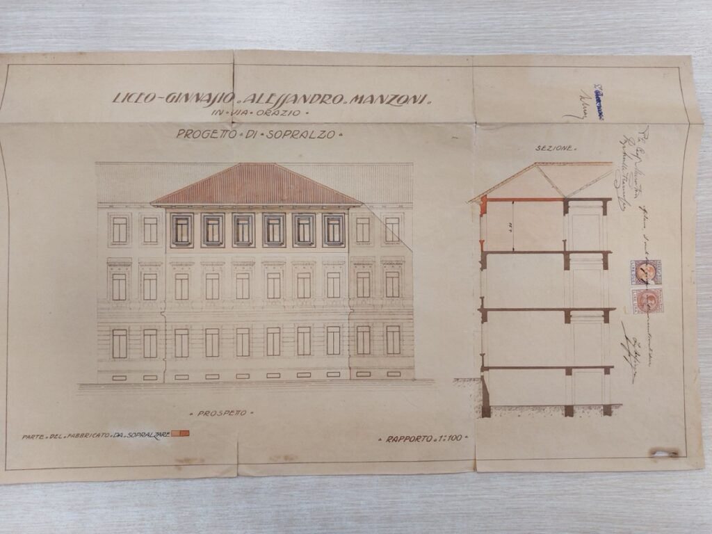
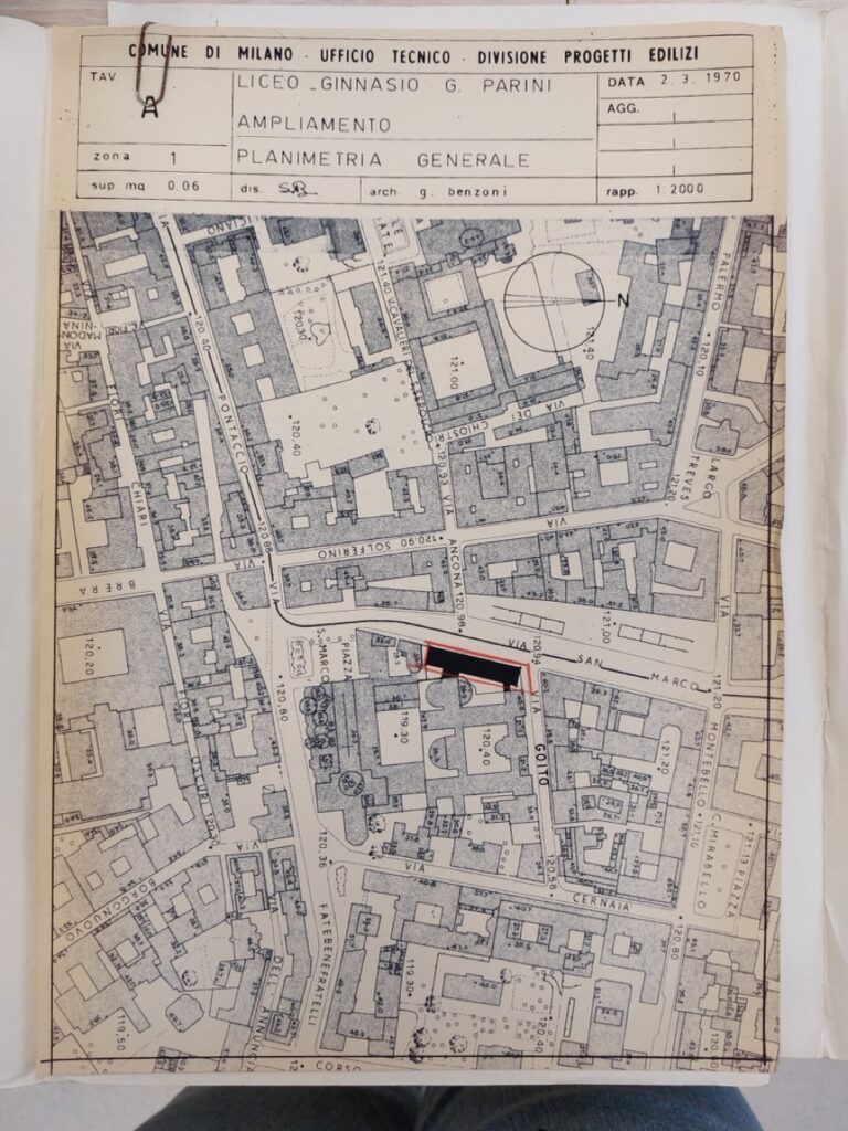
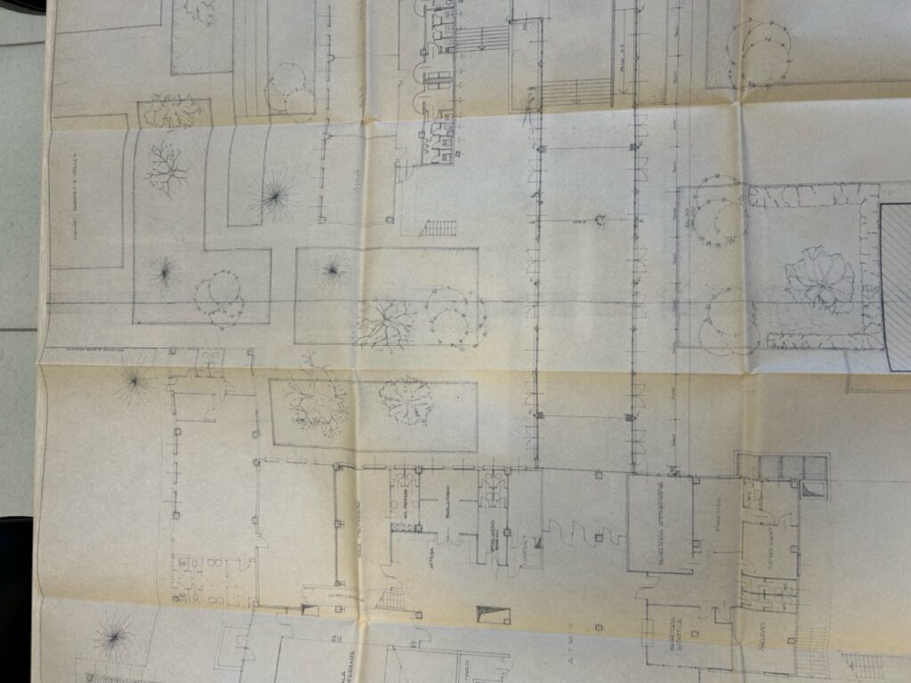
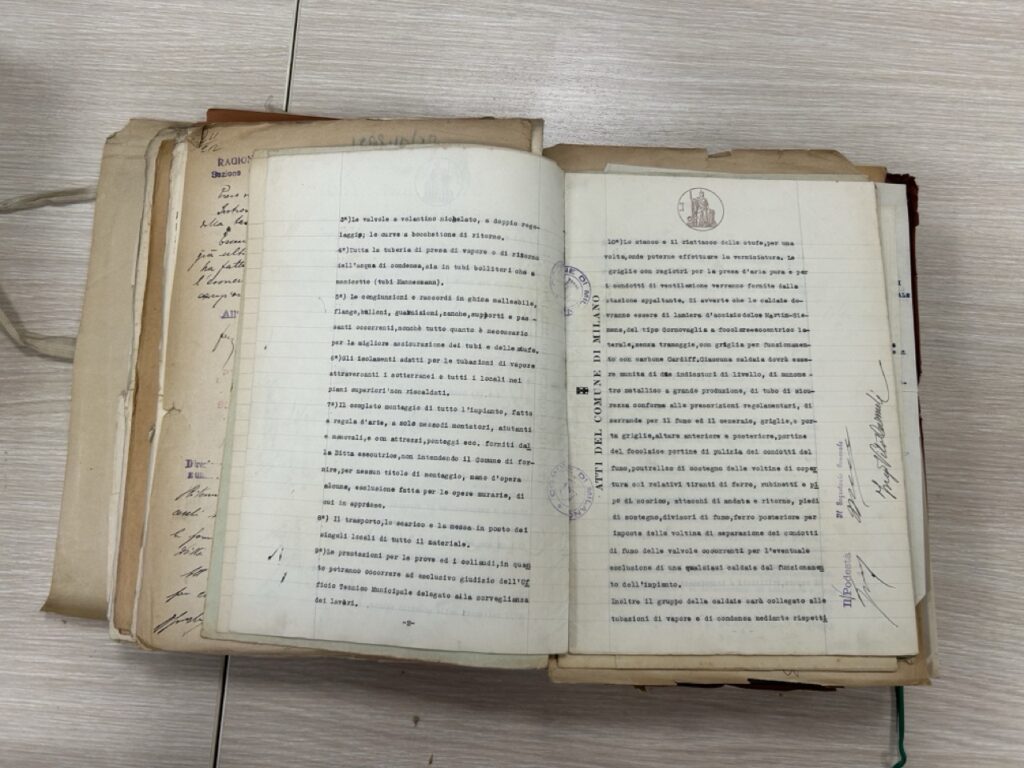
Activities Related to Cadastral Updates for Real Estate Properties
For all properties that showed discrepancies , one or more of one or more of the activities listed below, depending on actual needs and based on how events unfold:
- possible submission with the land registry of the documents for transfer;
- the rasterization of the cadastral maps of real estate, where necessary. This activity is necessaryif theproperty is not properly registered with the Land Registry, in cases where the cadastral files contain dated floor plans, available only in paper and never digitized;
- theaccess to building records for individual properties filed with the individual municipalities, necessary to verify which duly registered building permits and the corresponding floor plans on file;
- Detailed surveys conducted by a specialized technician: this is necessary only if there are discrepancies between the actual condition of the property, the information recorded in the land registry, the building permits on file with the municipality, and the available floor plans.
Cadastral Update via DOCFA and Property Regularization
Finally, we proceeded with the production of a new Docfa, prepared by an authorized technician:
- in all cases where the property does not is registered in the land registry and/or buildings (provided it has been marked on the map);
- when it comes to the land registry has not have been previously reported the additions or new constructions.
Enertech Solution supports public agencies and companies at every stage, frominitial analysis to full process, integrating technical expertise and operational management.
To learn more or evaluate other projects, you can contact the team or visit the Projectspage.
Do you need counseling?
Fill out the form, and we will get back to you as soon as possible.